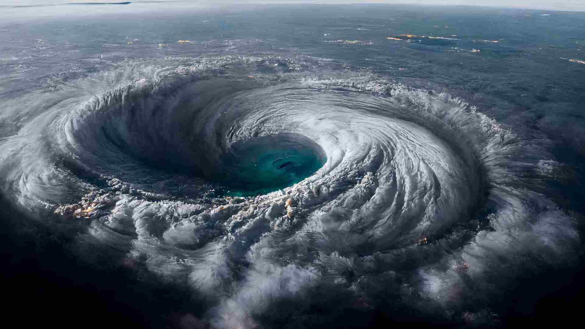
A tropical depression over Cuba is becoming more organized and is anticipated to bring heavy rain and coastal flooding to Florida’s Gulf Coast. The storm developed into a tropical depression late Friday and is expected to become a tropical storm by Saturday night, with winds of 39 mph (63 kph) or more. If named, it would be called Debby, the fourth named storm of the Atlantic hurricane season.
The depression’s circulation was centered near Havana on Saturday morning, with wind and thunderstorms affecting southern Florida, the Florida Keys, and the Bahamas. The National Hurricane Center in Miami predicts the depression will strengthen as it moves northward off southwest Florida’s coast, where water temperatures have been unusually warm, nearing 92 degrees Fahrenheit (33 Celsius).
Forecasts indicate the system could make landfall as a strong tropical storm late Sunday or early Monday, crossing northern Florida into the Atlantic Ocean and potentially affecting Georgia and the Carolinas. Tropical storm warnings are in place for much of Florida’s west coast and the Dry Tortugas, with a hurricane watch for parts of the Big Bend area, acknowledging the possibility of Debby reaching hurricane strength before landfall.
On Saturday morning, the hurricane watch area was extended westward to Indian Pass in the Florida Panhandle. Warnings signal expected storm conditions within 36 hours, while watches indicate possible effects within 48 hours.
Forecasters warn of potential river flooding, overwhelmed drainage systems, and 5 to 10 inches (125 to 250 mm) of rain causing “locally considerable” flash and urban flooding. Moderate flooding is also anticipated for some rivers along Florida’s West Coast. Some of the heaviest rains are expected next week along the Atlantic Coast from Jacksonville, Florida, to Savannah, Georgia, and Charleston, South Carolina.
Florida, prone to flooding even during high tides, may experience storm tides of 2 to 4 feet (0.6 to 1.2 meters) along most of the Gulf Coast, including Tampa Bay, with higher tides of 3 to 5 feet predicted in the Big Bend region. A storm surge warning has been issued, indicating “a danger of life-threatening storm surge inundation” in areas such as Hernando Beach, Crystal River, Steinhatchee, and Cedar Key.
In the Florida Keys, sustained winds of 30 mph (48 kph) were reported on Saturday morning, but the tropical storm watch for the northern Keys has been lifted. Conditions were windy and squally on Long Key, but local business operators reported minimal disruption.
Preparations are underway in Florida to mitigate flooding risks. Governor Ron DeSantis has declared a state of emergency for most counties, extending from the Florida Keys through Central Florida and the Tampa Bay region to the western Panhandle.
Residents in some Florida cities were filling sandbags on Friday to protect against flooding. Marina workers in Hernando Beach have been securing boats and preparing for the storm since Tuesday. Other preparations include securing tools, tying down loose items, and protecting infrastructure from potential storm surges.
In Tampa Bay, construction crews paused a bridge project, securing equipment to withstand the storm. Memories of the 2012 tropical storm Debby, which caused significant damage and fatalities, linger for some Floridians.
Meanwhile, Hurricane Carlotta off Mexico’s western coast is moving westward into the Pacific Ocean. With sustained winds of 90 mph (145 kph), Carlotta is expected to weaken due to unfavorable conditions. No watches or warnings are currently in effect for Carlotta.


