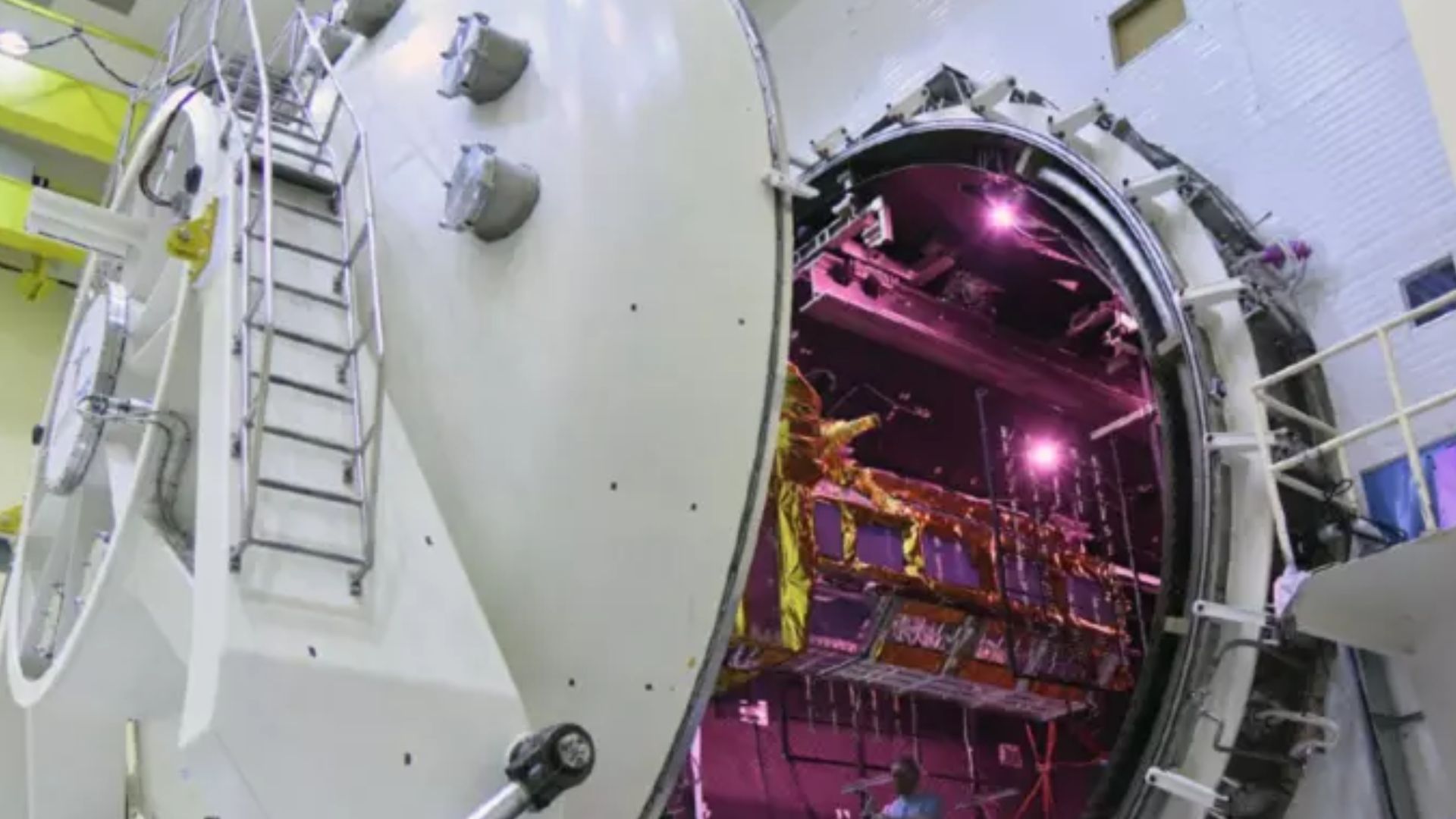


This year, the Indian Space Research Organization (ISRO) and the US space agency, the National Aeronautics and Space Administration (NASA), will collaborate to launch the radar satellite NISAR, which will measure some important Earth vital signs, such as the health of wetlands, ground deformation caused by volcanoes, and the dynamics of land and sea ice. According to a press release from NASA’s Jet Propulsion Laboratory, “it will measure the health of wetlands from ground deformation by volcanoes to the dynamics of land and sea ice.” This will assist researchers in understanding how massive changes in the ice sheets covering Antarctica and Greenland, as well as on mountain glaciers and sea ice worldwide, can be caused by small-scale processes.
“Short for NASA-ISRO Synthetic Aperture Radar, NISAR will provide the most comprehensive picture to date of motion and deformation of frozen surfaces in Earth’s ice- and snow-covered environments, collectively known as the cryosphere,” the release said.
The target launch readiness date is January 2024, according to ISRO.
Alex Gardner, a glaciologist at NASA’s Jet Propulsion Laboratory in Southern California said, “Our planet has the thermostat set on high, and Earth’s ice is responding by speeding up its motion and melting faster.”
“We need to better understand the processes at play, and NISAR will provide measurements to do that,” he added.