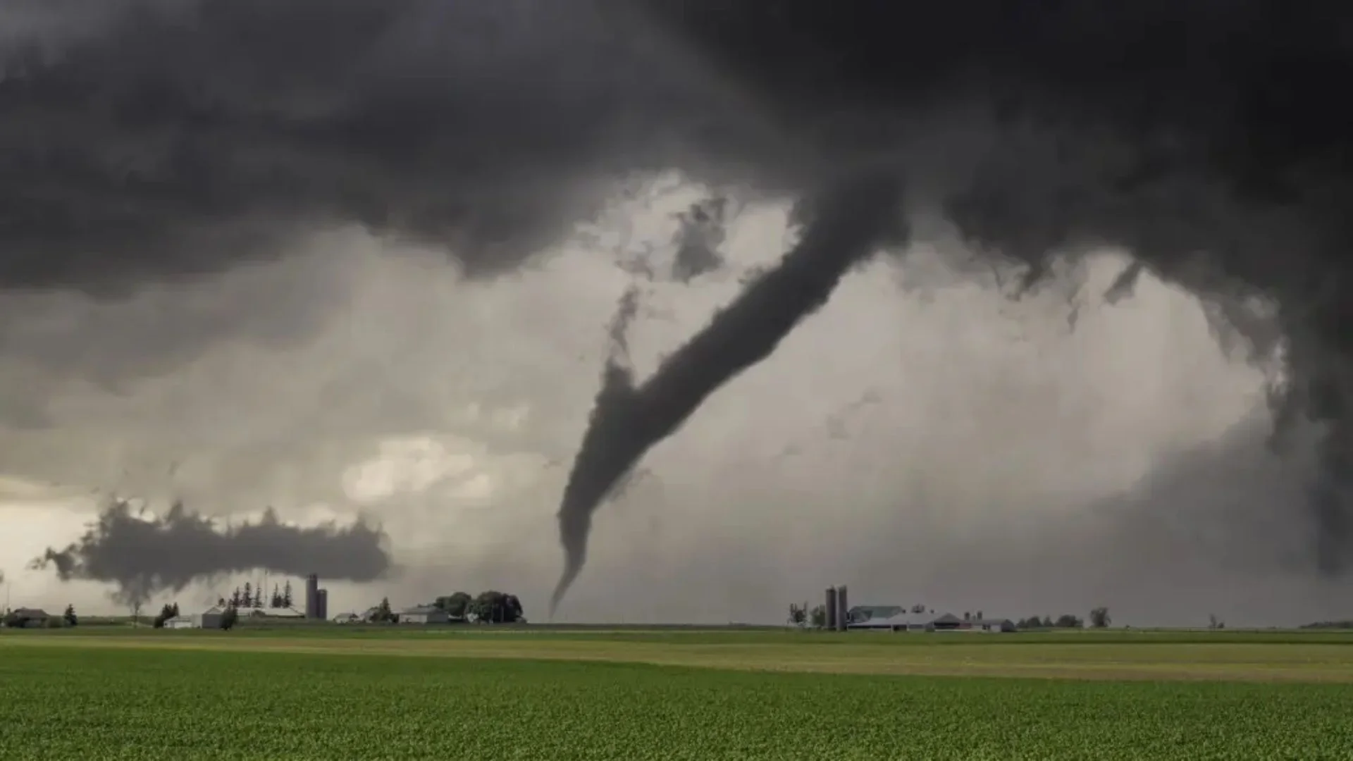
A strong storm system is set to bring through the central United States today, prompting hazardous weather conditions throughout Texas, Oklahoma, Louisiana, Arkansas, and Missouri. The National Weather Service (NWS) has placed several warnings, calling on residents to prepare for extreme thunderstorms, tornadoes, huge hail, and destructive winds throughout the evening and afternoon.
High Risk Areas Across Five States
The regions most vulnerable are the I-35 corridor in Texas and Oklahoma, along with areas extending into Arkansas, Louisiana, and Missouri. Forecasters have indicated the region as being under a “moderate” risk category for severe weather a ranking pointing to an increased possibility of broad impact.
As meteorologists predict, supercell thunderstorms are forecasted to develop in the latter part of the day, primarily over northeastern Texas, southern Oklahoma, and western Arkansas the notorious ArkLaTex area. They might produce long-track tornadoes with the possibility of extensive severe damage across big distances.
Tornadoes, Hail, and Storm Winds
The storm system for today poses a variety of dangers. Tornadoes are the most prominent hazard, especially within the ArkLaTex region where conditions are well-suited to the development of intense and prolonged tornadoes. These may remain on the ground for several hours, threatening the loss of both life and property.
Large hail is a major worry too, as reports indicate two-inch or larger diameter hailstones in certain locales. The storms are also dangerous from the viewpoint of damaging wind that can clock in at speeds more than 70 mph and result in fallen trees, snapped power lines, and structural damages.
City Forecasts: Dallas, Little Rock, Baton Rouge, and St. Louis
Dallas, Texas
Severe thunderstorms will be building in Dallas during mid-afternoon. Strong winds, huge hail, and possible tornadoes are predicted, particularly after 5:00 pm. People are advised to remain indoors and watch for weather reports.
Little Rock, Arkansas
Little Rock storms should strengthen by late afternoon. Tornado watches are in effect, and hail and damaging winds might hit the region by 4:00 pm. Residents are advised by local authorities to have emergency plans ready.
Baton Rouge, Louisiana
Severe weather may hit Baton Rouge around 3:00 pm with the potential for tornadoes, heavy rain, and strong gusty winds. Flash flooding and power outages are also a possibility as the storm passes through.
St. Louis, Missouri
Despite being further north, St. Louis is also within the scope of strong thunderstorms. Big hail and tornadoes are still a risk at night. Authorities recommend close monitoring of weather warnings.
Residents throughout the area are recommended to remain vigilant, heed emergency alerts, and head to shelter immediately when warnings are issued.


