
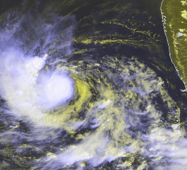
The outer bands of Hurricane Lee began to lash Bermuda late on Thursday as big surf pounded the island, with the Category 2 storm expected to make landfall on the coast of New England or Atlantic Canada over the weekend. The storm was located about 370 miles (595 kilometers) south-southwest of Bermuda. It had winds of up to 105 miles per hour (165 kilometers per hour) and was moving north-northwest at 9 mph (15 kph).
Lee was expected to pass just west of Bermuda, prompting forecasters to issue a tropical storm warning for the island.
”I cannot stress enough that we must all take this storm seriously,” David Burch, acting national security minister, said in a press conference.
Bermuda’s government announced it would shutter its airport at midday on Thursday and reopen it Friday. Banks, city parks and ferry service also were scheduled to shut down Thursday. Public schools would shutter Thursday and Friday.
“We don’t want 4,000 little people wandering around the country in tropical storm winds,” Burch said.
Lee is expected to grow in size and keep travelling north as it slowly loses strength in cooler waters. It is forecast to approach the coast of New England and Atlantic Canada on Friday and Saturday and remain a “large and dangerous hurricane”, according to the National Hurricane Centre.
A hurricane watch was issued from Stonington, Maine to the US-Canadian border. A tropical storm watch was issued for a large swath of coastal New England from Watch Hill, Rhode Island to Stonington, Maine, including Block Island, Martha’s Vineyard and Nantucket. A storm surge watch was issued for Cape Cod Bay and Nantucket.
“Due to Lee’s large size, hazards will extend well away from the center, and there will be little to no significance on exactly where the center reaches the coast,” the centre said.
Hurricane-force winds extended up to 115 miles (185 kilometers) from Lee’s center, and tropical-storm-force winds extended up to 240 miles (390 kilometers), the centre reported. It warned of wind, rain and coastal flooding for parts of New England and Atlantic Canada. The storm is approaching as New England struggled on Wednesday with flooding from unusually heavy rainfall unrelated to the hurricane that prompted the governor of Massachusetts to declare a state of emergency.Forecasters warned of dangerous surf and rip currents in Lesser Antilles, the British and US Virgin Islands, Puerto Rico, Hispaniola, the Turks and Caicos Islands, the Bahamas, Bermuda and the US East Coast. The conditions were starting to reach Atlantic Canada.
“I understand our community has been through a lot with back-to-back storms,” Burch said, referring to Idalia, which spun past the island on Saturday as a post-tropical cyclone and has since dissipated. “I want to acknowledge the fatigue and concern many of you may be feeling right now.”
Meanwhile, Hurricane Margot was spinning through open Atlantic waters on Wednesday. It was located about 790 miles (1,270 kilometers) west-southwest of the Azores and had maximum sustained winds of 90 miles (150 kilometers). It was moving north at 7 mph (11 kph) and is expected to remain over open waters.