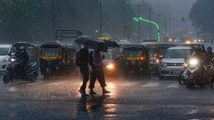
Due to the effects of cyclone Biparjoy, the Meteorological Department has warned that there is a chance of light-moderate to heavy rain in several locations in the Gwalior-Chambal region in the northern regions of Madhya Pradesh.
After making landfall in Gujarat’s coastal regions on Thursday evening, Cyclone Biparjoy’s strength dropped from “very severe” to “severe,” according to the India Meteorological Department (IMD). Rajasthan is likely to experience severe rainfall on Friday because the storm is projected to be centred around Saurashtra-Kutch.
As of right now, there is no such influence of the Biparjoy cyclone in Madhya Pradesh, according to Ashfaq Hussain, meteorologist, IMD Bhopal.
“After June 16 and 17 it will have its impact over Rajasthan and after June 18 and 19, when it becomes low pressure, there is a possibility of light moderate rain and heavy rain at some places in Gwalior Chambal region in the northern parts of Madhya Pradesh,” he said.
He claimed that a heat wave and north-west winds are to blame for the rise in temperature. He added that the temperature is predicted to drop by 2 to 3 degrees Celsius after 72 hours, with the highest temperature recorded in Tikamgarh in the previous 24 hours being 43 degrees Celsius.
We need to understand, what are cyclones?
In general terms, a cyclone is defined as winds more than 118 kmph.Cyclones are the name given to these rotating winds that develop across the Indian Ocean and south of the Pacific Ocean. They are commonly referred to by other names, such as typhoons, hurricanes, etc., in other regions.
How do they form?
| Category | Wind Speed (in kmph) | Damage at Landfall |
| 1 | 119-153 | Minimal |
| 2 | 154-177 | Moderate |
| 3 | 178-210 | Extensive |
| 4 | 211-250 | Extreme |
| 5 | More than 250 | Catastrophic |
The Causes of Cyclone
13 coastal Indian states and Union Territories are cyclone-prone, according to the Indian Meteorological Department. India’s eastern coast is more vulnerable to cyclones than its western coast. However, India’s 7516.6 km of coastline means that both of its coasts routinely suffer cyclonic storms. Some states on both coasts are more susceptible to cyclones than others.
The following list of states in India are the most at risk from cyclone impact: