
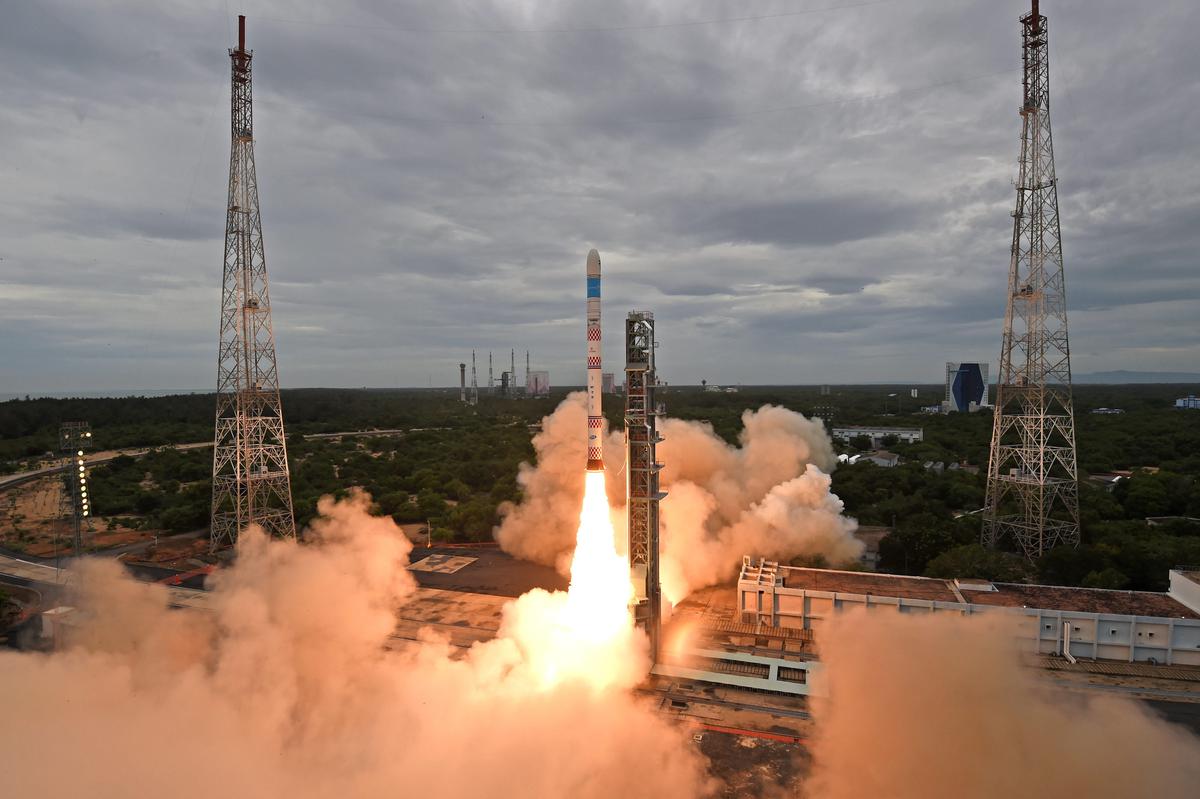
On Monday, the Indian Space Research Organisation’s (Isro) geosynchronous satellite launch vehicle (GSLV) rocket carrying the navigation satellite NVS-01 lifted off from Sriharikota and entered orbit.
With the launch of the satellite, Isro hopes to improve the continuity of Navigation with Indian Constellation (NavIC) services. The 51.7-meter-tall rocket took off from the second launch pad, which is approximately 130 kilometers (km) from Chennai. It took off at 10:42 a.m., against the backdrop of clear skies.
The second-generation navigation satellite series is regarded as a significant launch that would ensure the continuation of NavIC services – an Indian regional satellite navigation system, similar to GPS, that provides accurate and real-time navigation in the country and a region extending 1,500 kilometers around the mainland.
“The signals from NavIC are designed to provide user position accurate to better than 20 metres and timing accuracy better than 50 nanoseconds,” Isro said.
The rocket is scheduled to place the 2,232 kg satellite in a geosynchronous transfer orbit (GTO) at an altitude of about 251 km nearly 20 minutes after liftoff. NVS-01 is equipped with navigation payloads in the L1, L5, and S bands.
The second-generation satellite would also include a rubidium atomic clock developed in-house. Previously, Isro scientists had relied on an imported atomic clock.
Isro created the NavIC system to meet the country’s positioning, navigation, and timing needs, particularly those of civil aviation and the military. NavIC, formerly known as the Indian Regional Navigation Satellite System (IRNSS), is designed with a constellation of seven satellites and a network of ground stations that operate 24 hours a day, seven days a week.