
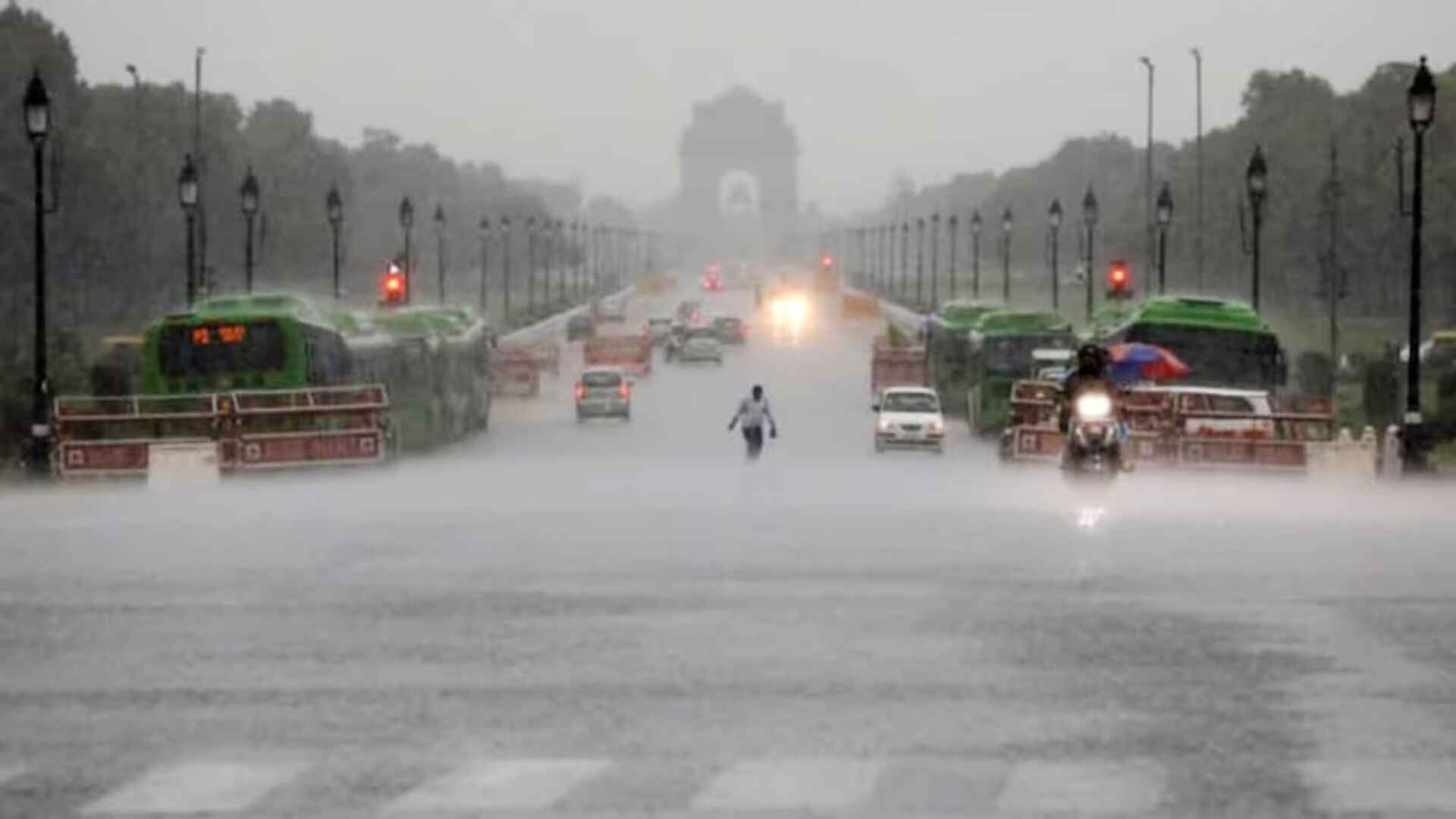
The Indian Meteorological Department (IMD) issued a warning about a current spell of rainfall accompanied by moderate thunderstorms expected across regions including Madhya Pradesh, Punjab, Haryana, Chandigarh, Delhi, western Uttar Pradesh, and Rajasthan on April 14th.
According to the weather department on the social media platform X, it was forecasted that thunderstorms, accompanied by light to moderate intensity rain and gusty winds with speeds ranging from 30-50 Km/h, are expected to affect isolated areas, including Delhi, NCR (Bahadurgarh, Noida, Greater Noida, Gurugram, Manesar), and Meham, and their adjoining regions.
The weather department tweeted, “Ongoing rainfall spell with moderate thunderstorms, lightning, gusty winds and hail over Northwest India is likely to continue during next 48 hours and abate thereafter.”
Ongoing rainfall spell with moderate thunderstorms, lightning, gusty winds & hail over Northwest India likely to continue during next 48 hours and abate thereafter. pic.twitter.com/PdNUE3ONPg
— India Meteorological Department (@Indiametdept) April 14, 2024
The IMD additionally forecasted isolated hailstorms in Himachal Pradesh and Uttarakhand on April 14th and 15th.
In another tweet, the IMD mentioned the likelihood of hailstorms occurring at isolated locations in Sub-Himalayan West Bengal and Sikkim on April 16th.
According to the IMD, an intense western disturbance, manifested as a cyclonic circulation, is situated over northeast Iran, accompanied by an embedded trough in the middle and upper tropospheric westerlies, extending approximately along Long. 55°E to the north of Lat. 26°N. This disturbance has induced a low-pressure area over southwest Rajasthan.
A cyclonic circulation is present over northeast Rajasthan, along with an east-west trough extending from this circulation to Gangetic West Bengal across south Uttar Pradesh, south Bihar, and north Jharkhand in the lower tropospheric levels. Additionally, there is a likelihood of high moisture feeding from the Arabian Sea into Northwest India on April 14th and 15th, as per the IMD.
IMD reported that a new Western disturbance is expected to impact Northwest India on April 18. Under the influence of these weather systems, widespread light to moderate rainfall/snowfall with thunderstorm, lightning, and gusty winds (30-40 kmph) are likely over Jammu-Kashmir-Ladakh-Gilgit-BaltistanMuzaffarabad, Himachal Pradesh, and Uttarakhand on April 14 and 15, 2024. Moreover, scattered to fairly widespread rainfall with thunderstorm, lightning, and gusty winds (30-40 kmph) is expected over West Uttar Pradesh, Punjab, Haryana-Chandigarh-Delhi, Rajasthan, and Madhya Pradesh on April 14 and 15, 2024.
The IMD predicts that isolated hailstorms are highly likely over Jammu Division, Himachal Pradesh, and Uttarakhand on April 14th and 15th, as well as over Punjab, Haryana-Chandigarh-Delhi, West Uttar Pradesh, Rajasthan, and Madhya Pradesh on April 14th, 2024.
Isolated heavy rainfall/snowfall is highly probable over Jammu-Kashmir-Ladakh-GilgitBaltistan-Muzaffarabad and Himachal Pradesh on April 14th and 15th, 2024. Furthermore, strong surface winds (30-40 kmph) are expected to prevail over Haryana, Chandigarh, and Uttar Pradesh on April 16th and 17th, 2024.
In the previous month, the IMD issued a hailstorm alert and predicted the possibility of rainfall in isolated areas of Madhya Pradesh and Chhattisgarh.