
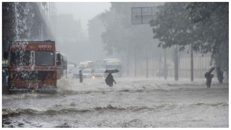
A rise in rainfall activity was predicted by the India Meteorological Department (IMD) beginning on September 8 along the east coast, in Maharashtra, and in the Gujarat region.
“Isolated heavy rainfall spell likely to continue over south Peninsular India during next five days. Subdued rainfall activity over northwest India during next five days,” the Met forecast read.
The monsoon trough’s eastern end is currently running to the north of its regular position, while the western end is currently running along its normal path. It is likely that the eastern end will go south.
According to forecast, a north- south trough runs from north interior Karnataka to Comorin area at lower tropospheric levels. A cyclonic circulation lies over Comorin area and adjoining Maldives in lower tropospheric levels.
These factors may cause fairly widespread rainfall with sporadic heavy falls, thunderstorms, lightning over coastal Andhra Pradesh and Yanam on September 5, 8, and 9; Tamil Nadu, Puducherry and Karaikal from September to 8 ; Telangana, coastal and south interior Karnataka; Kerala and Mahe over the following five days.
“Isolated very heavy rainfall also likely over Kerala and Mahe during 6-8 September; south interior Karnataka on 7 and 8 September; Coastal Karnataka on 8 September; Coastal Andhra Pradesh & Yanam and Telangana on 9 September,” the forecast read.