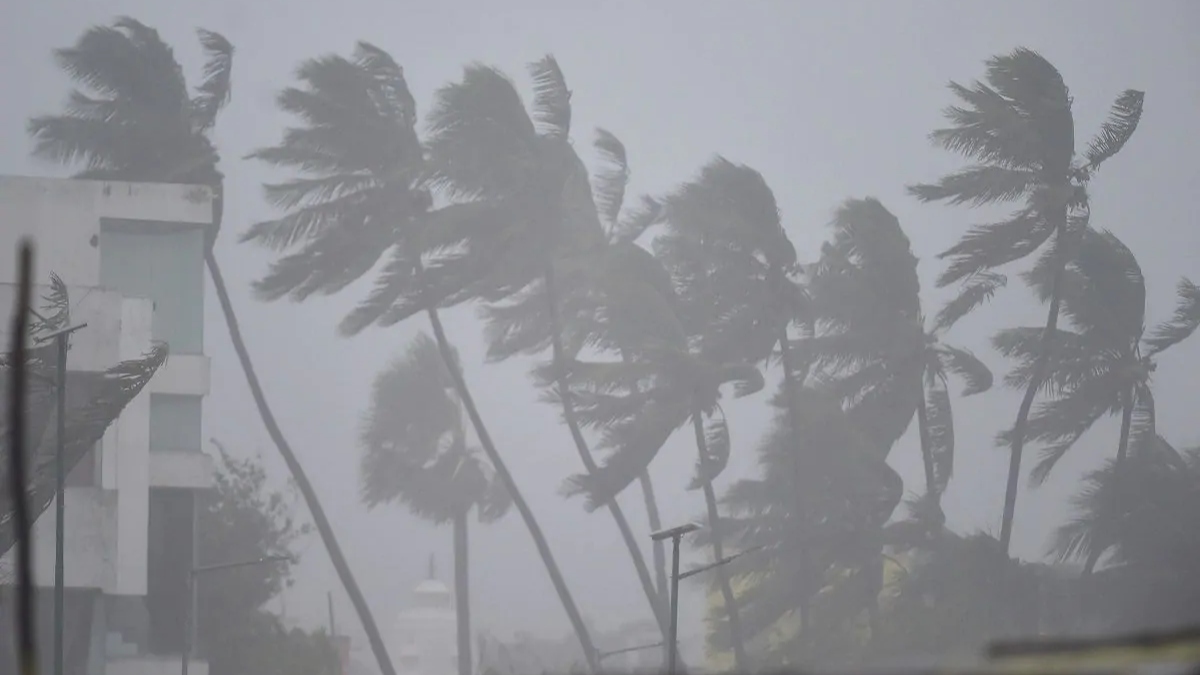
India Meteorological Department in its Sunday bulletin predicted a cyclone-type situation near the West Bengal coast, due to a deep depression over the west-central and adjoining east-central Bay of Bengal.
“The deep depression over west-central and adjoining east-central Bay of Bengal moved northwestwards with a speed of 18 kmph during past 6 hours and lay centered at 1130 hours IST of today, the 23rd October over the same region near latitude 15.80N and longitude 88.10E, about 680 km northwest of Port Blair, 650 km south of Sagar Island and 1200 km southwest of Barisal (Bangladesh),” the IMD bulletin said.
As per the bulletin, the ‘deep depression’ is expected to move northwestwards during the next six hours and intensify into a cyclonic storm over the central Bay of Bengal.
After that, it would recurve and move north-northeastwards and cross the Bangladesh coast between Tinkona Island and Sandwip, close to Barisal around October 25 early morning, the bulletin said.
Earlier on Saturday, IMD had said that the conditions are “favourable” for further withdrawal of Southwest Monsoon from the entire country during the next 48 hours.
Also, rainfall is very likely over Arunachal Pradesh from Monday-Tuesday, Assam, and Meghalaya from Monday-Wednesday, and Mizoram and Tripura from Sunday-Wednesday.
Very heavy rainfall is also very likely over Arunachal Pradesh Monday and Tuesday; Assam and Meghalaya and Mizoram and Tripura on Monday.
Isolated extremely heavy falls are also very likely over south Assam, Meghalaya, Mizoram, and Tripura on Tuesday, the IMD report said. In the southern part, fairly widespread rainfall is very likely over Tamil Nadu, Puducherry, Karaikal and Kerala, and Mahe on Saturday. Most parts of Northwest and Central India are very likely to see dry weather during the period.


