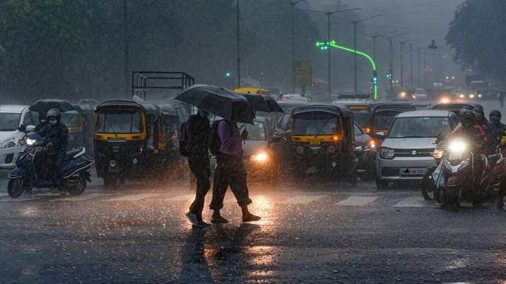
Due to the effects of cyclone Biparjoy, the Meteorological Department has warned that there is a chance of light-moderate to heavy rain in several locations in the Gwalior-Chambal region in the northern regions of Madhya Pradesh.
After making landfall in Gujarat’s coastal regions on Thursday evening, Cyclone Biparjoy’s strength dropped from “very severe” to “severe,” according to the India Meteorological Department (IMD). Rajasthan is likely to experience severe rainfall on Friday because the storm is projected to be centred around Saurashtra-Kutch.
As of right now, there is no such influence of the Biparjoy cyclone in Madhya Pradesh, according to Ashfaq Hussain, meteorologist, IMD Bhopal.
“After June 16 and 17 it will have its impact over Rajasthan and after June 18 and 19, when it becomes low pressure, there is a possibility of light moderate rain and heavy rain at some places in Gwalior Chambal region in the northern parts of Madhya Pradesh,” he said.
He claimed that a heat wave and north-west winds are to blame for the rise in temperature. He added that the temperature is predicted to drop by 2 to 3 degrees Celsius after 72 hours, with the highest temperature recorded in Tikamgarh in the previous 24 hours being 43 degrees Celsius.
We need to understand, what are cyclones?
In general terms, a cyclone is defined as winds more than 118 kmph.Cyclones are the name given to these rotating winds that develop across the Indian Ocean and south of the Pacific Ocean. They are commonly referred to by other names, such as typhoons, hurricanes, etc., in other regions.
How do they form?
- Less dense warm, moist air over the water rises higher, leaving less air close to the ocean’s surface, and this begins to form a low-pressure area.
- Air flows into this region of low pressure because of the high pressure areas nearby, gradually warming it up and creating a cycle.
- The entire cloud and wind system begins to spin and grow as a result of the constant heating rising of the warm air and evaporation process.
- The cyclone’s eye begins to develop in the centre as it picks up speed. This tranquil, transparent core region denotes the area with the lowest air pressure. Additionally, high-pressure air from above is directed towards this area.
- Different Categories of Cyclone
A cyclone’s category relies on how strong the wind is. Based on the wind speed of a cyclone, you may predict the damage it can do after it reaches land using the table below.
Category Wind Speed (in kmph) Damage at Landfall 1 119-153 Minimal 2 154-177 Moderate 3 178-210 Extensive 4 211-250 Extreme 5 More than 250 Catastrophic The Causes of Cyclone
- Warm temperature at sea surfaces.
- The region where a low-pressure zone forms is affected by coriolis force.
- Atmospheric instability.
- Greater humidity in the lower to middle troposphere levels.
- Low vertical wind shear.
- Low-level disruption or focus present before.
- The impacts of Cyclone
- Strong winds uproot trees, harm infrastructure, and trigger other disasters.
- Unprecedented flooding and damage to homes and buildings are caused by torrential rain.
- Seawater levels rise as a result of storm surge, exposing the coastal areas to floods.
- Cyclone Hazard Zones in India
13 coastal Indian states and Union Territories are cyclone-prone, according to the Indian Meteorological Department. India’s eastern coast is more vulnerable to cyclones than its western coast. However, India’s 7516.6 km of coastline means that both of its coasts routinely suffer cyclonic storms. Some states on both coasts are more susceptible to cyclones than others.
The following list of states in India are the most at risk from cyclone impact:
- West Bengal
- Andhra Pradesh
- Tamil Nadu
- Odisha
- Puducherry (UT)
- Gujarat


