The RAFTAAR Scheme since its inception has empowered several startups in India including IG Drones , an enterprise drone solution provider, for its agri-tech solution that operates at scale and focuses on lowering farming costs.
Today, agriculture is one of the fastest-growing markets in the commercial drone industry. The Indian agri-tech ecosystem has the potential to attract investments of over $10 billion over the next ten years, according to a FICCI-PwC report. A report by PWC India further states that the drone space is expected to grow at a CAGR of 18% during 2017-23. The past few years have seen a rapid emergence of ag-specific drone solutions. The use of drones in agriculture has made several tedious processes, starting from monitoring crop progress to detecting crop damage, much easier.
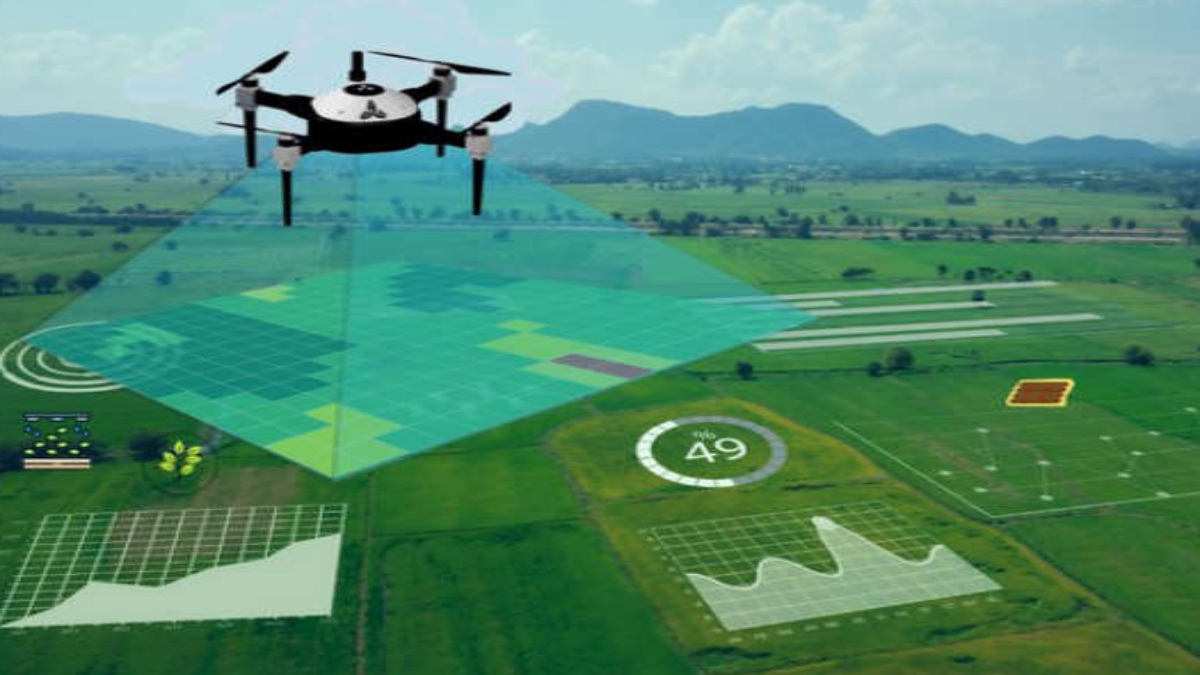
The development of the SaaS Platform by IG Drones for the Drone Data Analysis has helped various stakeholders in the agriculture ecosystem ranging from agricultural institutes to growers, agronomists and banking institutions to help bring all relevant players together in an integrated framework. It has crowned them as India’s best Drone Consultant. Drones collect raw data containing valuable information related to crop health, vegetation indices, Plant height, density, Plant scouting, water requirements, soil density etc. These data are further translated with algorithms into useful information to provide relevant and meaningful insights into the field.
“IG Drones is a budding start-up that has been working relentlessly towards helping farmers in several ways. It’s one of the successful start-ups from our 1st batch of RKVY Raftaar. It feels great to see how on being supported by the scheme, the start-up has demonstrated exponential growth within a very short period.” said G.A.K. Kumar, Head SSD, ICAR – National Rice Research Institute.
Farmers can also utilise AI-based tools to evaluate ROI before and after precise area mapping to understand how drones affect ROI. Areas can be labelled with enough natural nutrients, the right amount of nitrogen, or a shortage of nutrients to quickly identify trouble areas. The subsequent application map allowed them to optimise their nitrogen application, reducing its input by 20%. In addition, drones are also able to conserve up to 90% of water usage for agriculture.
Additionally, the recent development of a SaaS global platform designed for unmanned aviation has proved to be a boon for the agriculture society as it has several advantages from cost-cutting to time-saving, user-friendly—easily comprehensible mechanisms. It also serves a major function, that is, it helps in the interpolation of micro-level high-resolution data with low-Rresolution into satellite imagery.
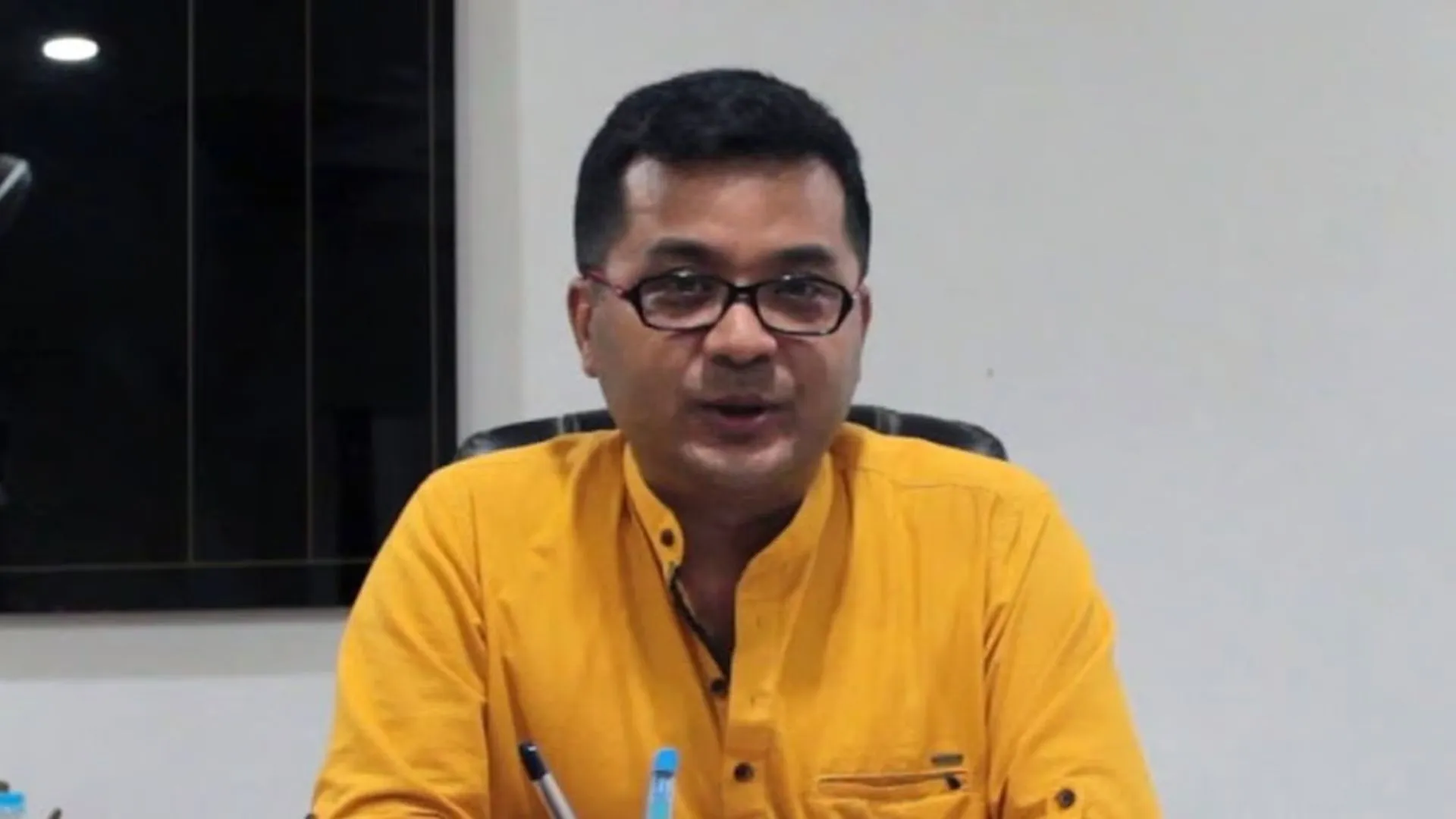
Om Prakash Das, Co-Founder, IG Drones said, “The SaaS platform is cutting-edge, user-friendly technology. The results obtained after analysing the aerial data are numerical values that make essential details such as Weather Forecast, nutrient contents, soil health, water content etc. easily understandable and accessible to the farmers.”
For many of today’s farmers who manage thousands of acres of farmlands, registering a claim necessitates a time-consuming evaluation by their insurer which fails to produce the information that farmers and insurance companies require. As a result, insurers may overpay or underpay claims.
At that point, the geospatial data from the drone mapping and analysed meaningful data from the SaaS platform helps the insurer. The data from the platform can be utilised by the stakeholders for crop insurance and litigation claims under the Pradhan Mantri FasalBima Yojana (PMFBY) initiative. Banking and financial institutions can further use this data to make necessary settlements.
Om Prakash says, as a company, they pivoted in 2018 in offering a complete end-to-end solution to their clients to provide meaningful insights into the huge chunks of data flowing from IoT devices and Drone. IG Drones realised that most of the enterprise customers were finding it difficult to understand the mass of data that was thrown up when the drones were deployed for Agricultural purposes. Hence, the idea of a SaaS platform was born to facilitate the complete solution in a simplified manner.
Drones are a critical tool that will help propel the agricultural sector to new heights. As a result, its application in the agricultural sector is certain to result in significant advancements in the traditional farming process.

