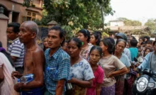
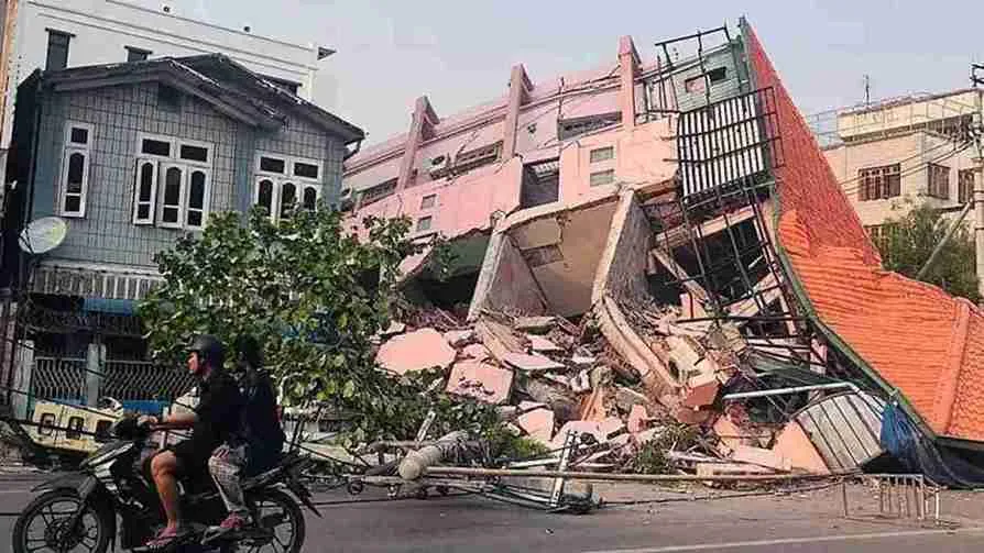
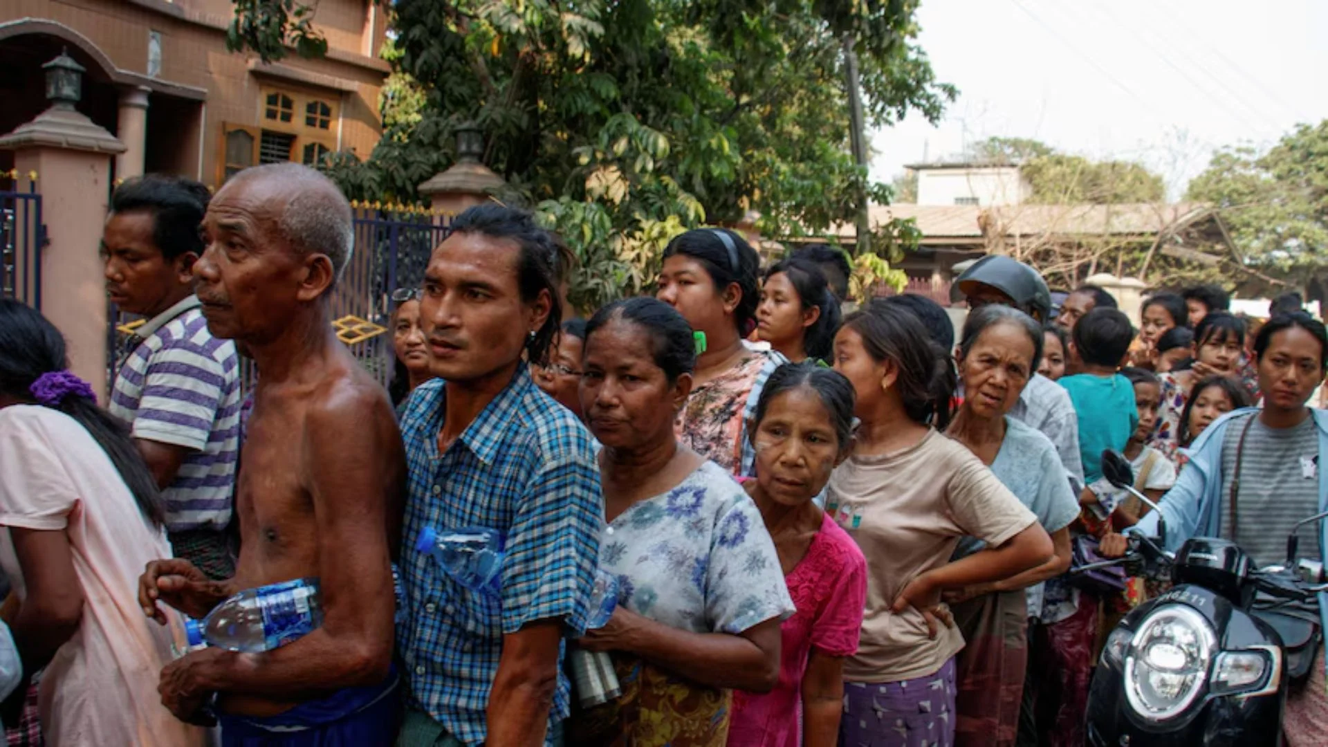
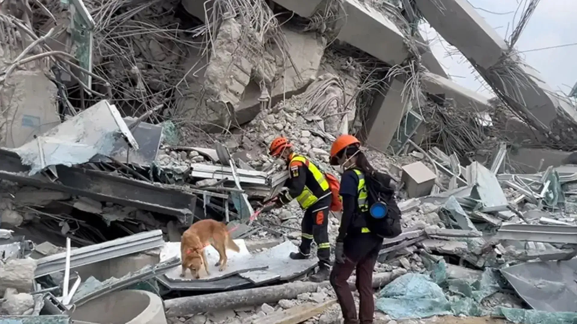
Myanmar experienced two consecutive earthquakes on Friday, with magnitudes of 7.7 and 6.4, according to the United States Geological Survey (USGS). The epicenter was in central Myanmar, about 50 kilometers east of Monywa. The disaster left over 1,000 dead and thousands injured, causing massive destruction.
Myanmar’s High Seismic Risk
Myanmar is one of the most seismically active regions in the world. According to the Global Seismic Risk Map, the country falls in a high-risk earthquake zone. The primary reason for this is the Sagaing Fault, a major continental right-lateral transform fault that runs approximately 1,200 kilometers through Myanmar, separating the Indian and Sunda plates.


The Sagaing Fault is known for frequent seismic activity. It experiences movement rates between 11 mm and 18 mm annually, accumulating significant stress over time. When this stress is released, it triggers powerful earthquakes, as seen in the recent disaster.
How Do Earthquakes Occur?
Earthquakes happen when tectonic plates move against each other, causing friction. This sudden movement releases energy, resulting in violent ground shaking. In some cases, earthquakes can also trigger secondary disasters like landslides, tsunamis, and flooding.
Despite appearing solid, Earth’s surface is constantly shifting. It consists of four layers: a solid crust, a hot mantle, a liquid outer core, and a solid inner core. The lithosphere, which includes the crust and the upper mantle, is broken into massive tectonic plates that float over the semi-fluid mantle beneath. These plates are always in motion, and when they interact, they cause earthquakes.
When stress builds up at a fault line, it eventually reaches a breaking point, causing the plates to slip abruptly. This event releases seismic waves, which radiate outward from the epicenter. The strongest shaking occurs near the epicenter, but its effects can be felt across vast distances.
How Are Earthquakes Measured?
Scientists use magnitude and intensity to assess an earthquake’s impact:
- Magnitude measures the total energy released. The USGS now uses the Moment Magnitude Scale (Mw) instead of the Richter Scale for larger earthquakes.
- Intensity gauges the shaking and damage, which varies by location. The Modified Mercalli Intensity Scale is commonly used for this assessment.
Impact in Bangkok
The earthquake’s tremors reached Bangkok, Thailand, where a 30-story under-construction building collapsed, killing at least 10 people. Rescuers are searching for nearly 100 missing workers. Over 2,000 structural damage reports have been filed, prompting building inspections across the city.
While Bangkok did not face widespread destruction, dramatic footage captured swaying skyscrapers, overflowing rooftop pools, and emergency hospital evacuations. Some medical procedures were even conducted outdoors due to safety concerns.
India’s Humanitarian Effort – Operation Brahma
India has launched Operation Brahma to aid Myanmar’s earthquake victims. The first shipment of humanitarian aid, including essential supplies like tents, blankets, water purifiers, hygiene kits, and medicines, has already reached Yangon Airport.
External Affairs Minister S. Jaishankar confirmed via X (formerly Twitter), “First tranche of humanitarian aid from India has reached the Yangon Airport in Myanmar.”
The Indian Embassy in Myanmar is closely monitoring the situation, confirming that no Indian nationals have been reported injured. Meanwhile, the Indian Embassy in Thailand is coordinating with local authorities, ensuring assistance for Indian citizens, though no casualties have been reported in Bangkok.